Bear Box at Snow Flat Trailhead (YE04)
Generated on 20 Oct 2025 - see revision history - please send updates to the webmaster
Detail Map of waypoint YE04
in Yosemite Park East:
(scroll down for directions, waypoints, and area map)
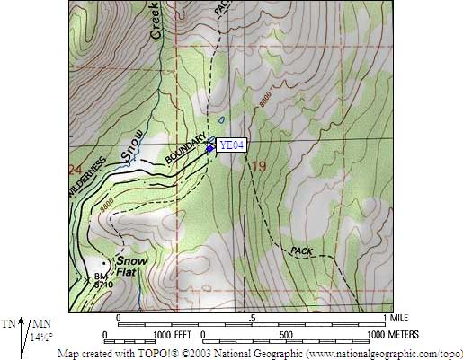
- YE04 is 10 large boxes, at about 8200 feet,
in the GPS route YOSEMITE EAST.
- Directions from Steve Eckert, with GPS waypoint, Sep 2004:
Ten large boxes in two groups of five (north and east ends of
the parking lot) at the Snow Flat trailhead, north of Hwy 120
and 1.5 trail miles south of May Lake. This is not where the
words 'Snow Flat' appear on the USGS topo map, it is at the end
of an oddly shaped wilderness boundary exclusion which allows a road.
- YE04 coordinates: (see GPX waypoint download links above)
  (lat,lon) = (37.8326600, -119.4908600) in decimal degrees, NAD83.
  (zone,east,north) = (11S, 280878.0, 4189973.0) in decimal meters, NAD27.
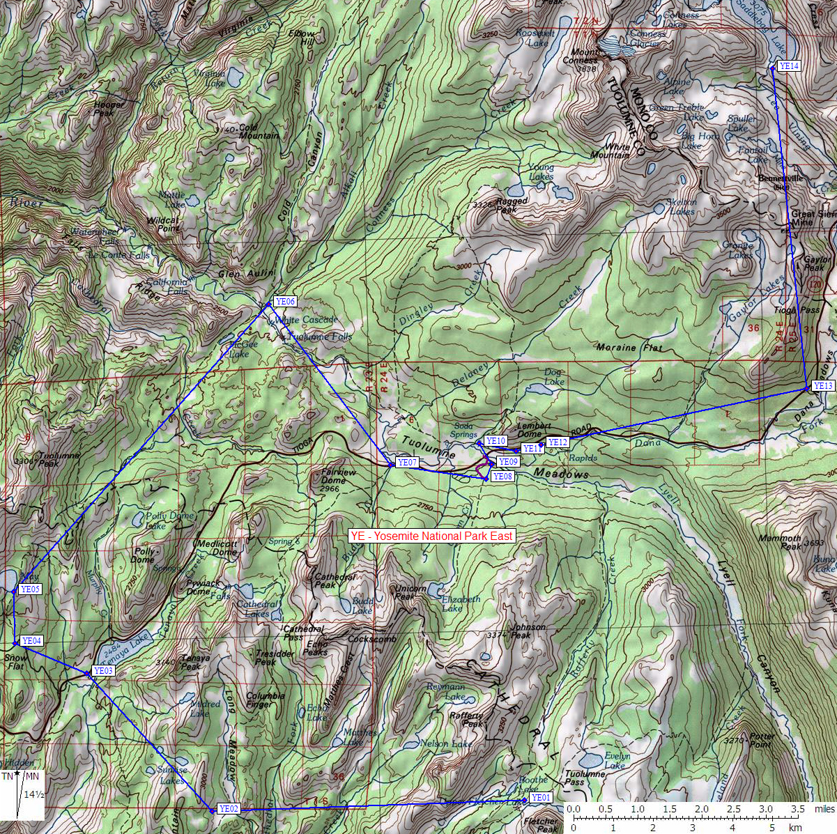
- Scroll down for a regional map of the entire Yosemite Park East region.
Map exported from TOPO! software, used with permission.
Useful Links: