Muddy Peak
Revised Apr 2006 - please send updates to the webmaster
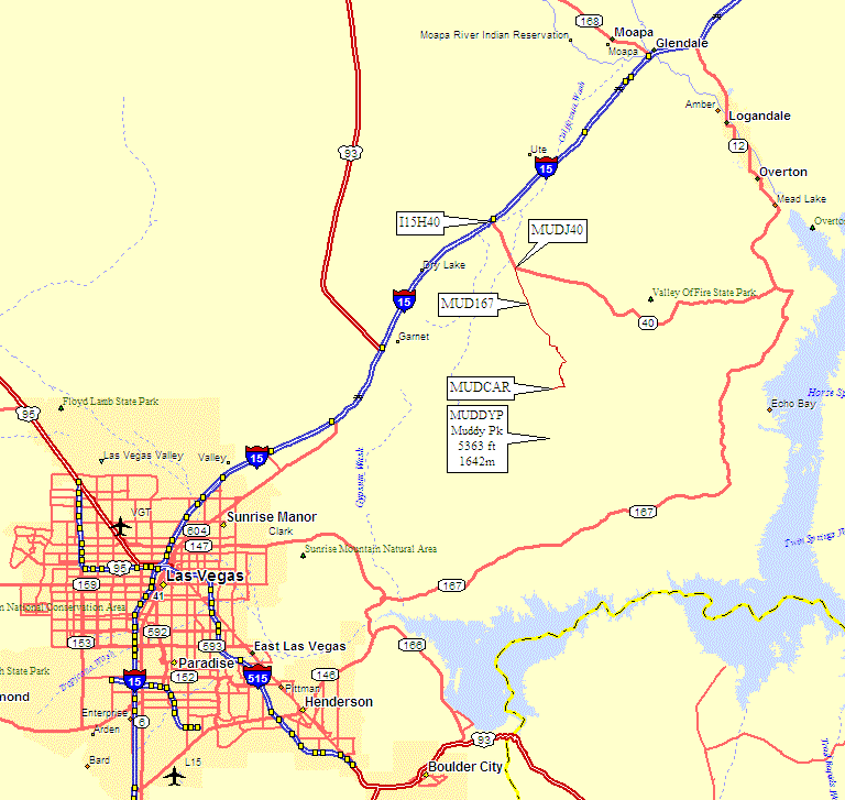
Here is an area-wide road map. See below for more detailed maps:
|
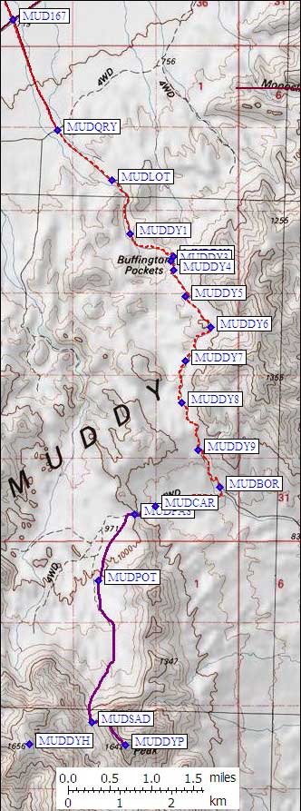
To the right is the 4WD road between waypoints MUD167 and MUDCAR as shown on the area map above. Drive northeast from Las Vegas on I-15, exit southeast on Hwy 40 (toward Valley of Fire State Park). At waypoint MUDJ40 go straight on a dirt road instead of following the pavement as it bends left. Go across Hwy 167 (waypoint MUD167) and past a large turnoff to a rock quarry (waypoint MUDQRY), ignore the large parking lot where the road narrows (wayopint MUDLOT - which had 3 purple porta-potties when we were there)... and then generally follow the line on the 7.5' topo maps. The red dashed line on the map to the right is an actual track log from my GPS. There were many turns and it was not always obvious which was which, but this may help:
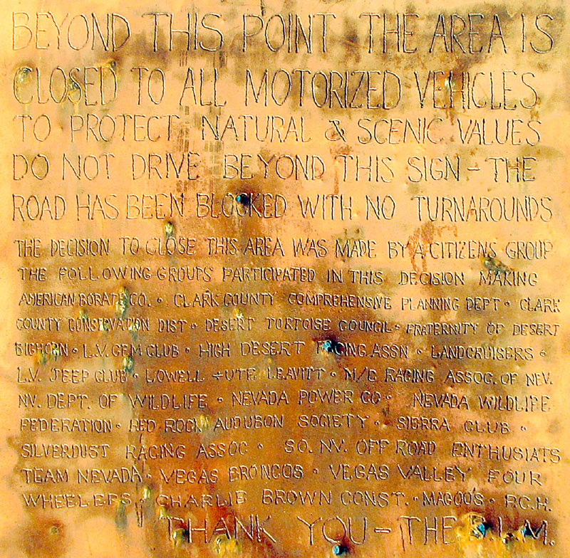
See my trip report for a picture of the sign and more details of the climb. |
|
Useful Links: