Waypoints are all on the trailhead page.
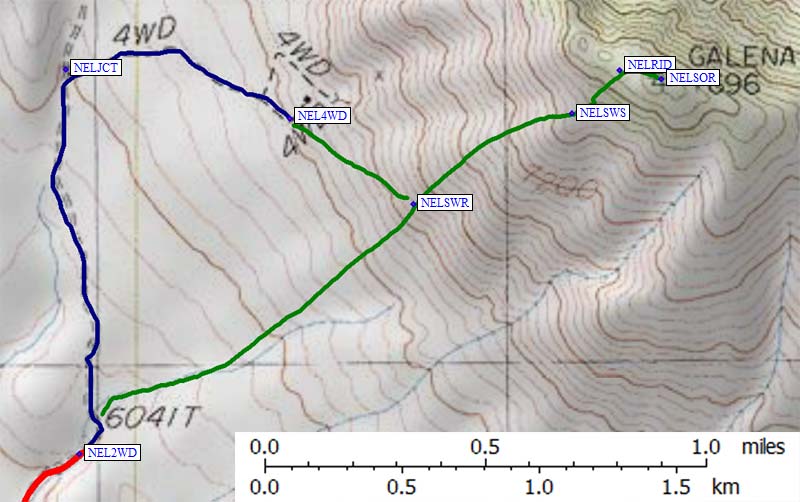
Nelson's southwest shoulder at about 7500' (waypoint NELSWS) is a good target to shoot for no matter from which angle you are approaching. The wash to the south of that is steep, loose, and ugly. The vague ridge that drops west from the shoulder is the best footing, and the lower you are the more choices you have for where to climb.
From the trailhead, look for a gray outcropping and then find an orange outcropping to the right of that. Climb to the right of the orange outcropping, finding good footing around waypoint NELSWR. Head for the left edge of the 7.5k shoulder (waypoint NELSWS), then turn straight uphill from there to the summit ridge proper (waypoint NELRID). Above the shoulder the footing improves considerably, with forest duff replacing scree/talus.
That's it! I spent about 1.5 hours getting from my car to the summit, arriving at 7am having never walked in the sun until the top. So I guess technically I was there for sunrise!
I wonder why the USGS map labels the BM at the summit "GALENA"? There is an old (1987) register which never got filled, and a newer one (placed in 1999) showing more entries. I particularly enjoyed Doug Mantle's entry from Nov 1998. He summed up climbing Nelson Ridge as "the best I could muster today", having just gotten a rental truck stuck on Manly. It wasn't clear whether his "very unpleasant" entry referred to Manly or Nelson: I thought Nelson was pleasant, but not exciting. Do it as part of a day where you need to do something else!
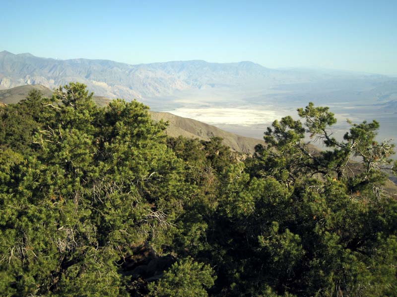
Looking North from Nelson Range:
PS: I've heard there are nice blue rocks to be found at one of the area mines, but I'm not sure which one and I'm not sure if it's private property.